Image
Topics:
Projects:
Authored on
Description
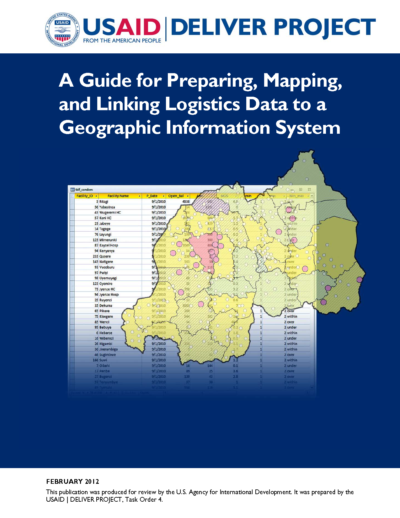
This guide is an introduction on how to integrate logistics management information systems (LMIS) with geographic information systems (GIS). It covers the value of integrating these two systems, the steps in assessing if it is currently viable to link the systems, how to set the linkage, the processes for using LMIS within a GIS platform, and how to sustain the linkage. The aim of this guide is to assist logistics managers, decision-makers, and technical experts in understanding the value of integrating GIS and the process involved in integrating the two systems.